

Itineraries and Trails
From relaxing walks along the Ru to challenging high-altitude hikes
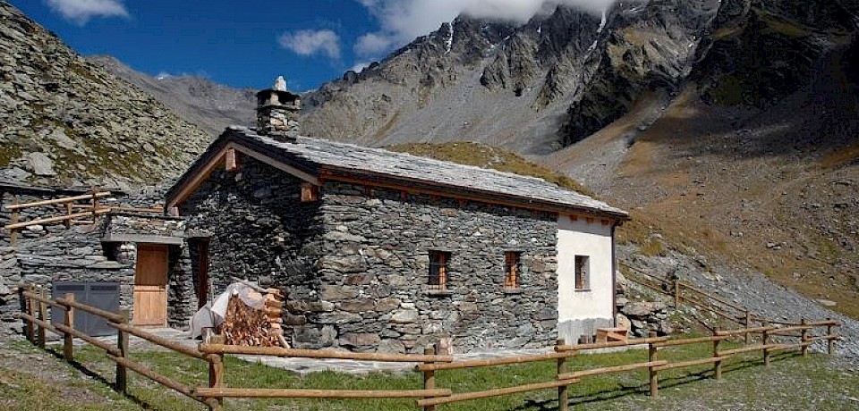
Molline Bivouac and Champillon Mountain Hut
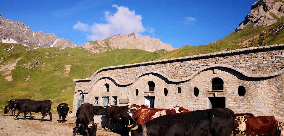
Starting from the village of Étroubles (or leaving your car at the Prailles-Dessous parking lot), the hike begins at the small square in Vachéry, below the medieval tower. After crossing the bridge over the stream, take Trail 22 to the Plan Roulier mountain pasture. At an elevation of 2,350 m above sea level, near the Creux de Bley mountain pasture, continue on to the Champillon Pass (2,709 m) and the Champillon Adolphe Letey Mountain Hut, a scenic viewpoint overlooking the Aosta Valley and the Great St. Bernard Valley.
Col Malatrà
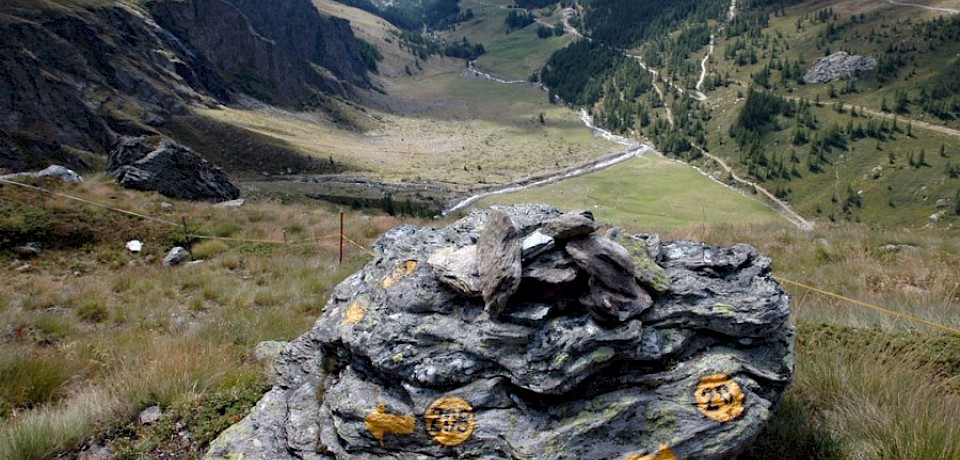
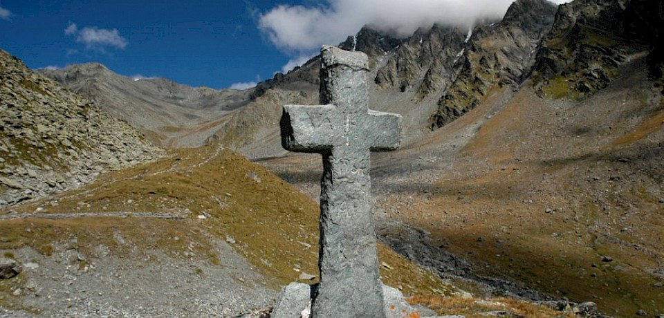
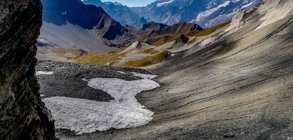
One of the most spectacular and iconic mountain passes in the Graian and Pennine Alps, located along theAlta Via No. 1 trail. The trail climbs from the valleys of Saint-Rhémy up to the narrow rocky pass at an elevation of 2,925 meters, offering a magnificent view of the Mont Blanc massif.
The Fitness Trail
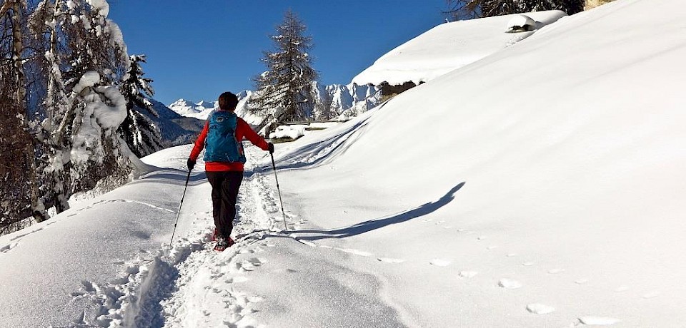
A simple, shaded trail nestled in the woods along the Artanavaz stream, featuring outdoor exercise stations and rest areas. From Étroubles, the trail begins near the sports field, crosses the wooden bridge, and continues on flat ground toward Saint-Oyen: ideal for families and refreshing walks.


Plan Puitz via Barasson
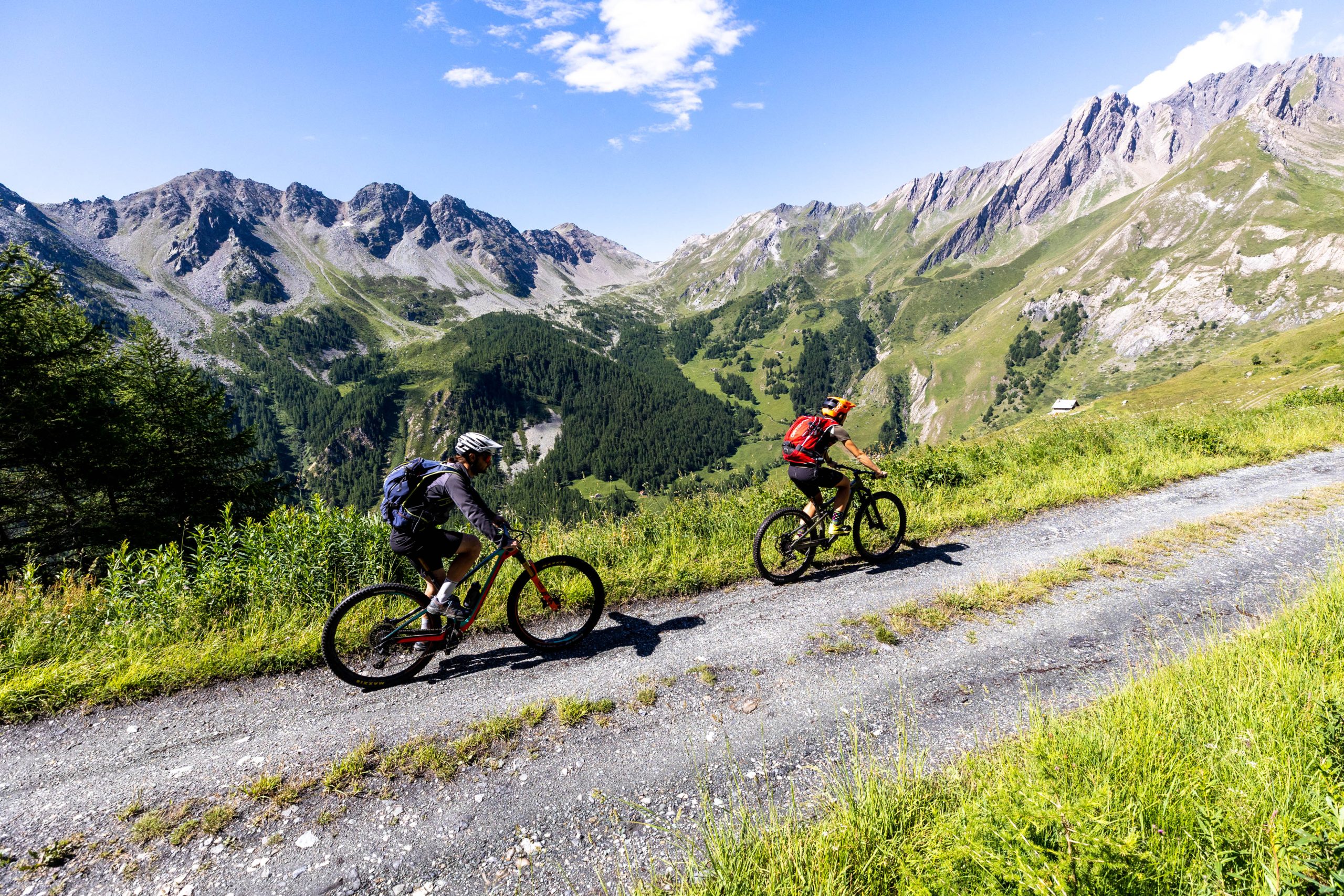
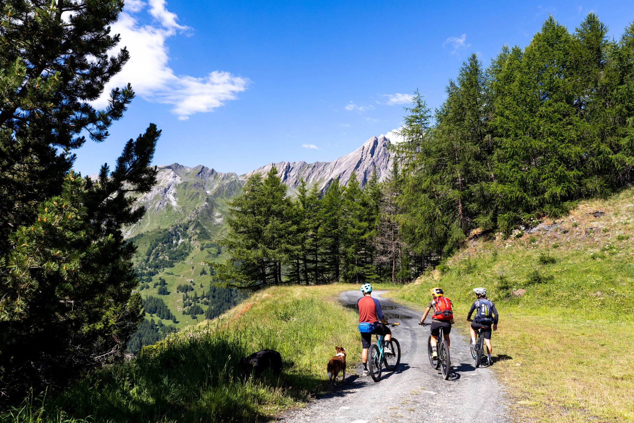
An easy, safe route that follows a forest road. Starting from the hamlet of Éternod Dessus, follow the road to the right toward Barasson, passing through dense larch and fir forests until you reach the open pastures of Plan Puitz, which offer views of the central valley.
You might be interested in
On the Paths of History
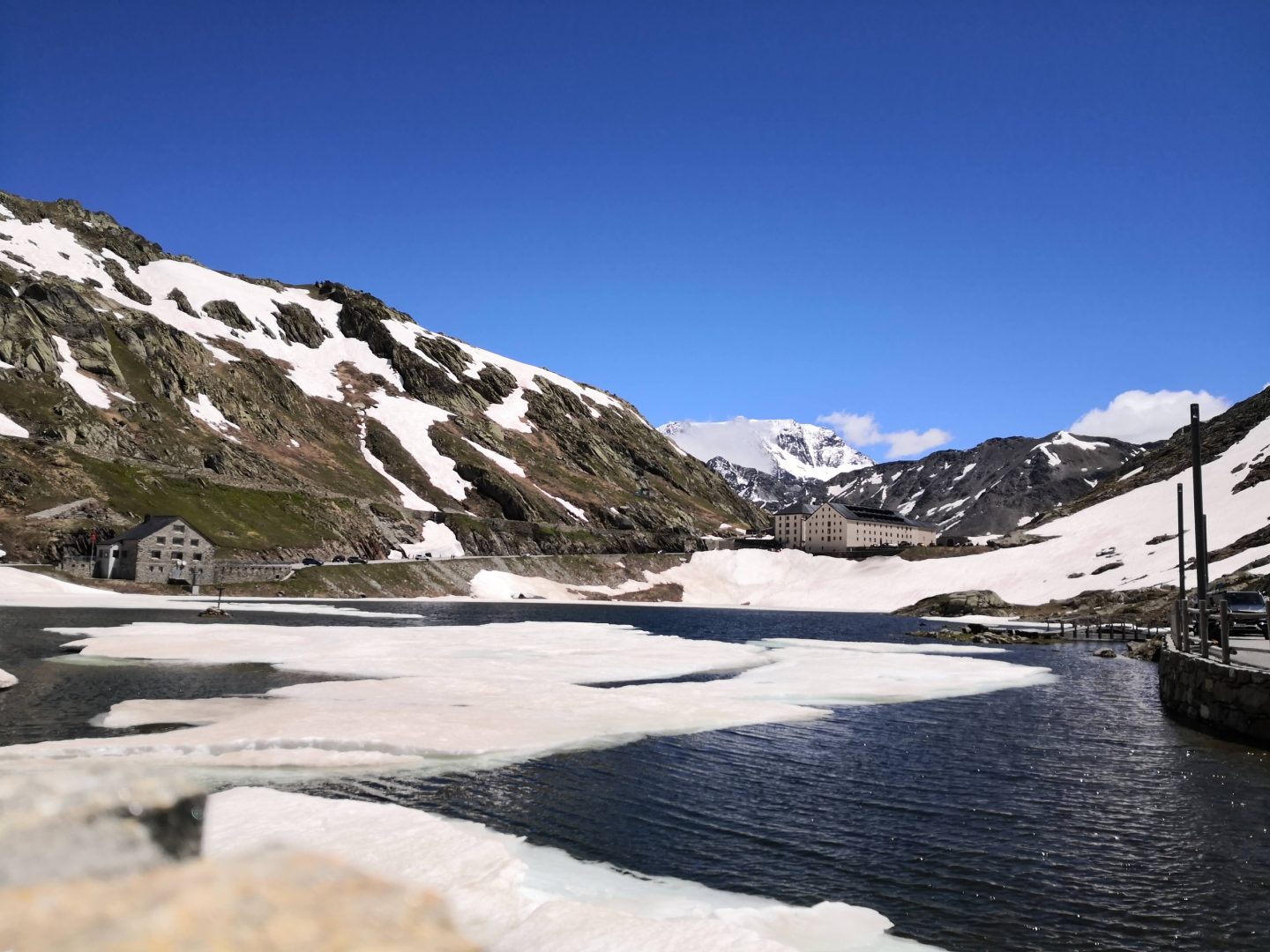
A journey on foot through two thousand years of travel: historic mule trails, medieval architecture, and the footsteps of pilgrims who connected northern and southern Europe.
The Valley of the Hams
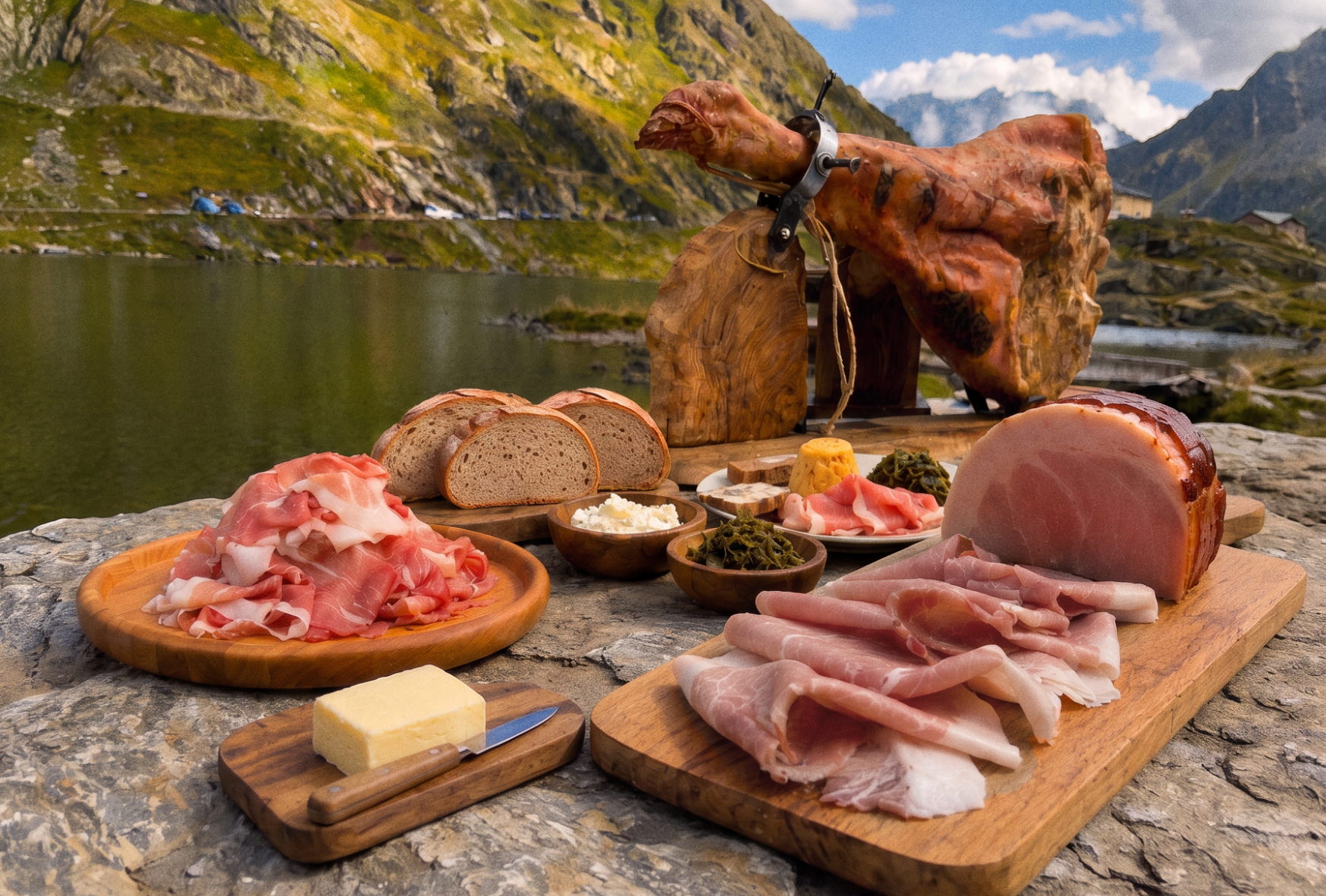
Two unique hams just a few kilometers apart along the Via Francigena: the Jambon de Bosses DOP, a raw alpine ham, and the Jambon alla Brace di Saint-Oyen, a oven-baked ham.