Where to stay
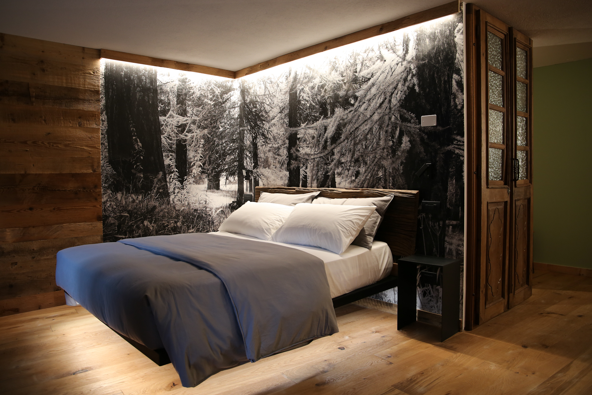
Historic hotels, charming B&Bs, campsites, and mountain huts among the villages of Étroubles, Saint-Oyen, and Saint-Rhémy-en-Bosses.
From the Great St. Bernard Pass (2,473 m) to Aosta: Stage 1 of the Via Francigena through the historic villages of Saint-Rhémy, Saint-Oyen, and Étroubles.
The Via Francigena is the ancient route traveled since the 10th century by pilgrims journeying from central and northern Europe down to Rome. The Upper Gran San Bernardo Valley constitutes the official Stage 01 of the route within Italian territory.
The route enters Italy at the 2,473-meter-high Great St. Bernard Pass, next to the thousand-year-old hospice founded in 1050, and then descends along the valley, passing through ancient mule trails, larch forests, and the historic stone villages of Saint-Rhémy-en-Bosses, Saint-Oyen, and Étroubles.
Leaving the pass at an elevation of 2,473 meters, the trail descends rapidly along the historic Roman road through high-altitude pastures and scree slopes. After passing Casa Guet and the pastures of Fonteinte, you reach the ancient village of Saint-Rhémy-en-Bosses (1,632 m), the first inhabited stop where you can find refreshments, water fountains, and lodging for hikers.
From Saint-Rhémy, the route continues halfway up the mountainside along farm roads and forest trails toward the hamlet of Cerisey and the Flassin pine forest. This brings you to Saint-Oyen (1,373 m), dominated by the monumental fortified house of Château-Verdun, which was donated to the Canons of the Pass in 1137 and has served as a resting place and shelter for pilgrims for nine centuries.
Continuing the descent along the Artanavaz stream, you enter the village of Étroubles (1,270 m), the ancient Roman encampment of Restopolis. The trail winds through the open-air art museum, past bronze sculptures, ancient fountains, and the first Latteria Turnaria.
From Étroubles, the route passes through the hamlet of Échevennoz (with its historic rest stop and dormitory) and follows the flat course of the Ru (ancient medieval irrigation canals) through the woods, before beginning the final descent through Gignod toward the Roman city of Aosta.
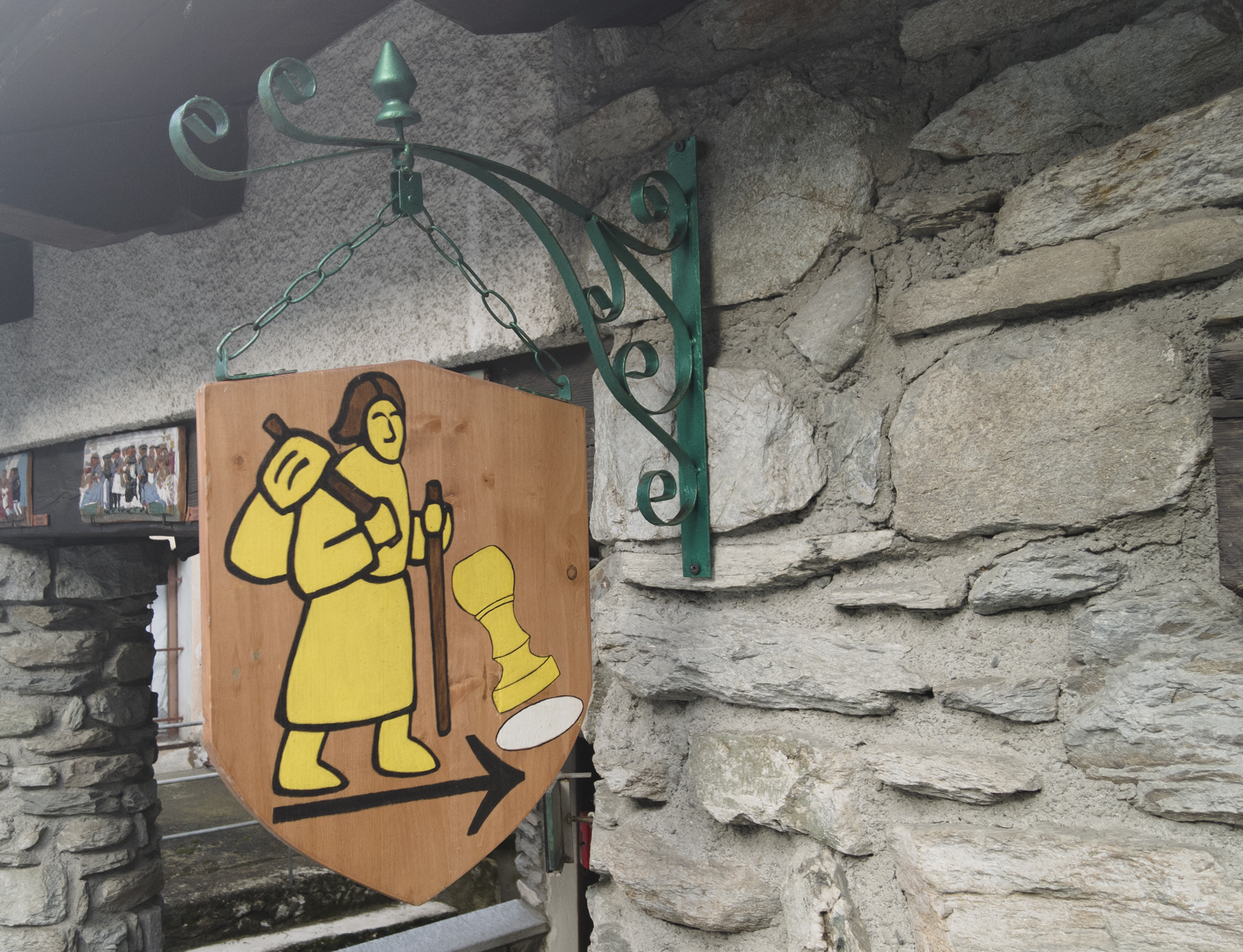
Plan your stop in the historic villages of the Upper Valley, check the waypoints, and get your passport stamped along the way.
Historic hotels, charming B&Bs, campsites, and mountain huts among the villages of Étroubles, Saint-Oyen, and Saint-Rhémy-en-Bosses.
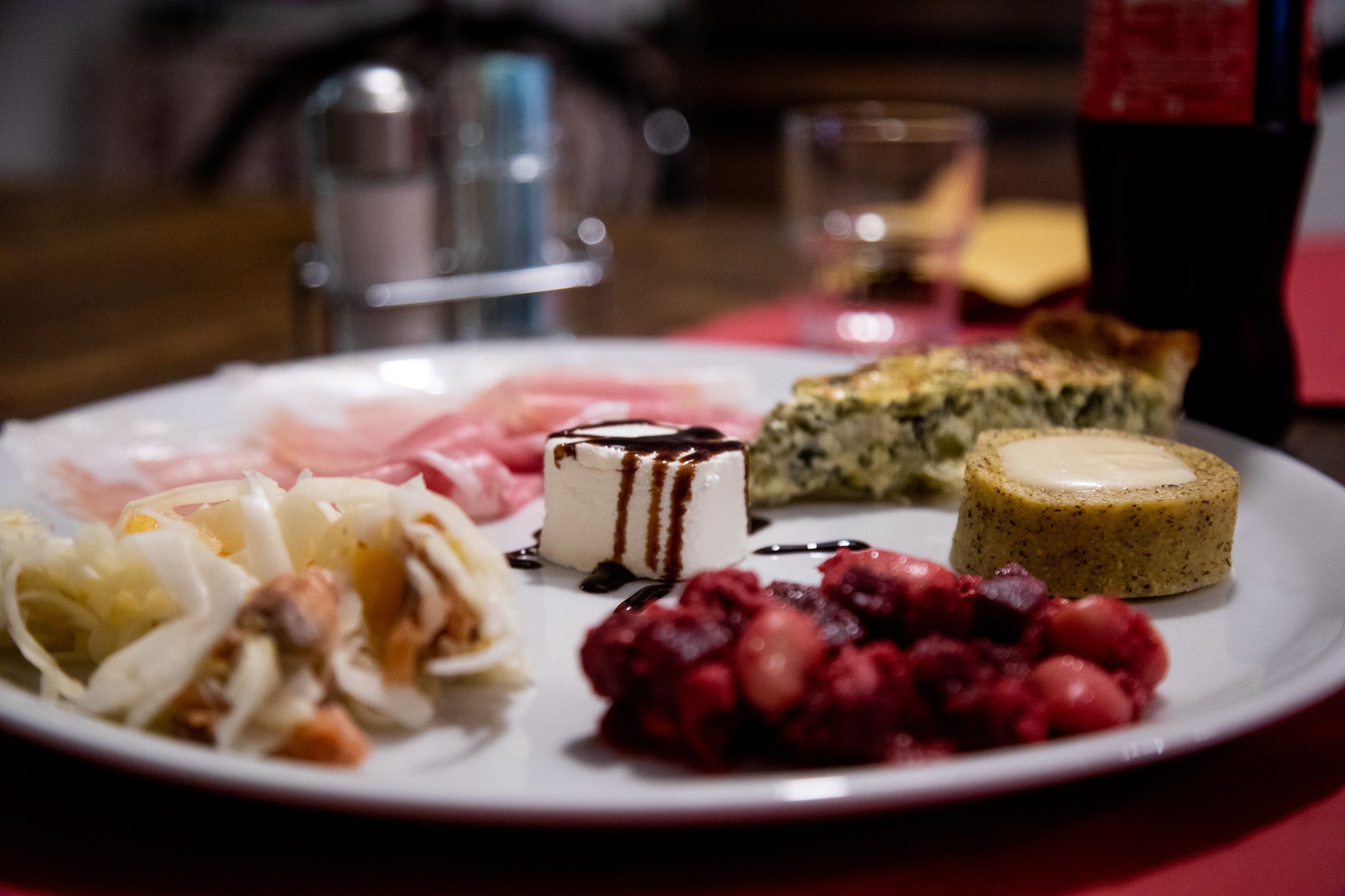
Traditional Aosta Valley cuisine, polenta concia, alpine cheeses, and the valley’s famous hams in the villages and high-altitude mountain huts.
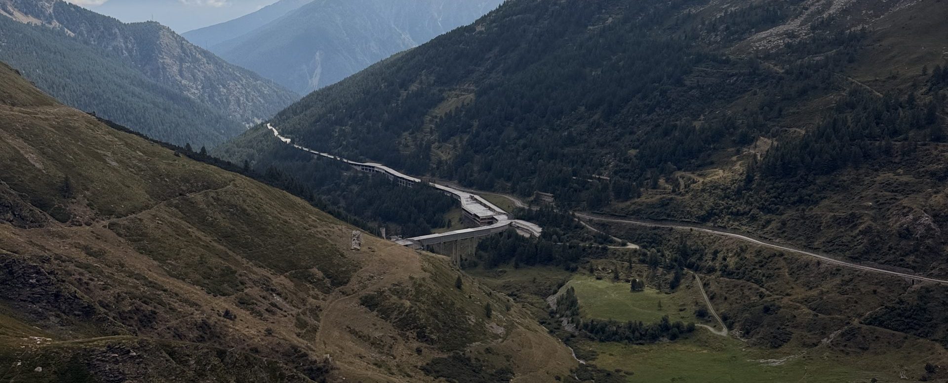
The Great St. Bernard Valley lies in the heart of the Western Alps: the road connecting Italy and Switzerland via the Great St. Bernard Pass. The area is easily accessible from major urban centers