Summer Outdoors
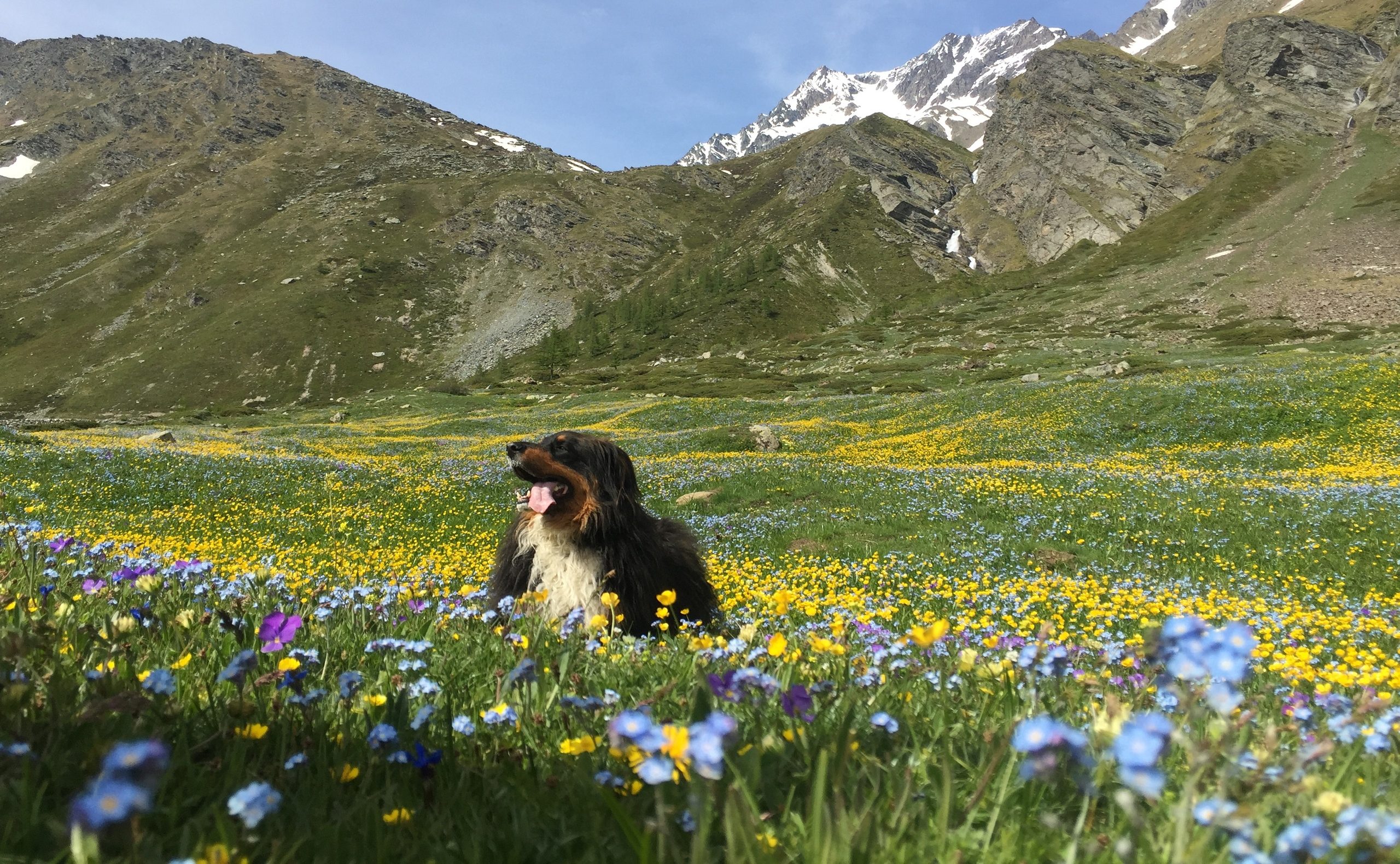
Coniferous forests, alpine pastures, fresh air, and historic trails: in the summer, the Upper Valley offers routes for hikers and cyclists, ancient villages to explore, and local traditions to discover at your own pace.
Past the village of Étroubles, from State Route 27, take the right turn toward Prailles, following the road signs.
After a few kilometers, you’ll reach a small parking lot (Prailles-Dessous), where the farm road begins and winds into the Menouve valley.
After parking your car, follow the farm road that runs alongside the Menouve stream for about 1 hour, ignoring the various junctions, until you reach a fork with a trail marker and signs for the bivouac.
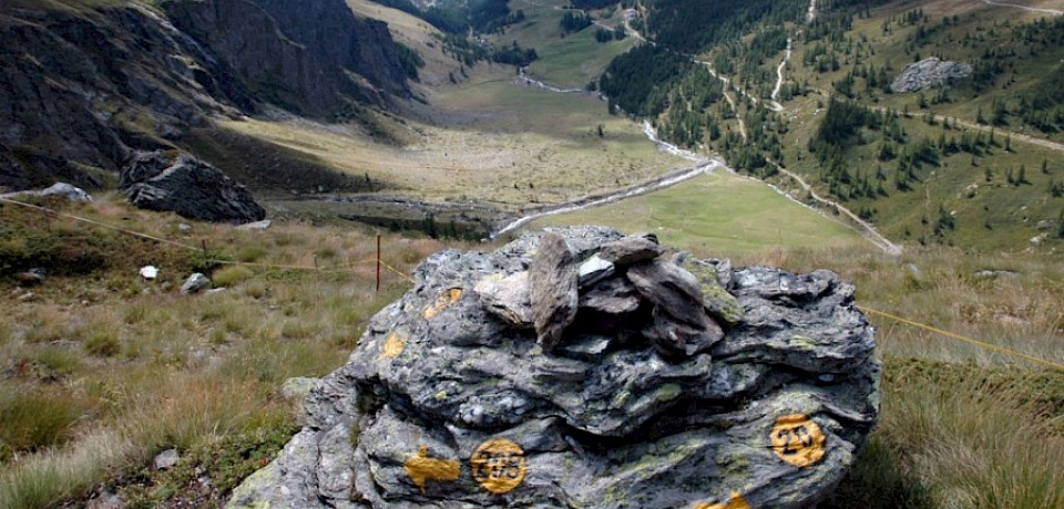
Continue to the right (trail marker 20B) on a gentle descent toward the stream, cross it, and climb back up to the right, heading toward the Arvus mountain pasture (1,983 m).
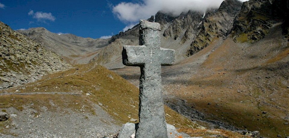
Behind the mountain pasture, a trail branches off and—with gentle switchbacks—climbs the steep slope until it reaches a fork. Here, take the right-hand trail (20B) and continue to the intersection with Trail No. 21. Continue straight ahead, taking the trail that climbs deeper and deeper into the valley; after passing a few rocky outcrops, it soon leads to the bivouac, which is not visible from the trail since it is situated in a depression but is marked by a stone cross placed at the highest point of the basin.
| Difficulty: | Easy |
| Length: | 7.6 km |
| Elevation gain: | 876 m |
| Descent: | 20 m |
| Minimum altitude: | 1,558 m |
| Maximum elevation: | 2,414 m |
| Period: | June–September |
You can find the GPX file here.
Coniferous forests, alpine pastures, fresh air, and historic trails: in the summer, the Upper Valley offers routes for hikers and cyclists, ancient villages to explore, and local traditions to discover at your own pace.